Monarch's Way - An Introduction to a 625 mile footpath
Monarch's Way T shirts and Hoodies
Monarch's Way Guide Books & Badges
Maps & Postcards of the Monarch's Way
Cotswolds Guide Books & Maps of the Monarch's Way
Warwickshire - The Monarch's Way
Temporary Amendments to The Monarch's Way
Places to Visit along The Monarch's Way
Walks Around The Monarch's Way
Bird News along The Monarch's Way
Amanda's Charity Walk Ham Hill to West Bay
Oak Apple Day 29th May 2012 Guildhall Worcester
Changes to the Route of the Monarch's Way
Minder's at work along the Monarch's Way
Trevor's Boot Relay Pictures part 2
Trevor's Boot Relay Pictures part 3
Trevor's Boot Relay Pictures part 4
Trevor's Boot Relay Pictures part 4A
Trevor's Boot Relay part 5 Book 2
The Monarch's way Relay part 8 (updated)
The Monarch's Way Relay part 9
The Celebration into Charmouth-Trevor's Boot Relay part 10
The Monarch's Way Relay part 11 Book 3
The Monarch's Way Relay Part 12
The Monarch's Way Relay part 13
The Monarch's Way Relay part 14
|
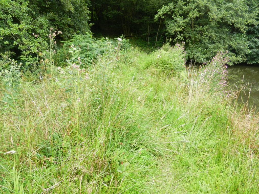
Temporary Amendment (Section 48 Wincanton to Mere at Ballands Castle) Update 29th August 2015. The route is very improved and the footpath is now open. The surface has now bedded down and it has fully grassed over so is very much improved on the picture shown below.
|
|
|
If the footpath (WN21/16) from GR7491,3091 to GR7555,3095 past the lake at Ballands Castle is bad again it is sensible to use the alternative route detailed below. The existing route starts from the Top of page 35 sentence 1 with. "Ahead you can see Brickhouse Farm at the bottom of the wooded ridge. Continue along the farm road for a few more yards and then leave it by branching slightly right across pasture (85 degrees) and then heading for the gate and water trough at the edge of the trees. Arriving at the water trough go through the gate which is just a few feet to the left and so enter another field. Here go forward on a track with a fence left. Follow this down to a gate in a dip and so forward and up the other side, through the conifers, following the track all the way to the top where you meet an unsurfaced, crossing forestry road". At this point you deviate from the waymarked route. "Here you must go left and then quickly right with the road, which soon becomes a lane, and so follow it into Pen Selwood village and so to the church where you rejoin the original waymarked route". This avoids trying to follow the alternative marked route which ends at the very muddy section where progress is very difficult. The only alternative you have at this point is to retrace your steps unless you are wearing wellingtons. |
|
Temporary Amendment Flood Damage (Section 40 Hawkchurch to Charmouth) Route Blocked Ahead Update 25th October 2014. The stream now has two planks of wood across it, however, these are Very slippery and may be extremely difficult to cross after rain or during the winter months when they won't dry out. The picture below shows how difficult it is to cross the wet planks The suggestion is to continue to use the diversion detailed below. The stream now has two planks of wood across it, they are however very slippery after any rain or during the winter time and so it would be sensible to continue with the diversion below as it is safer. P.117 3rd PARA. The route at the culverted stream is blocked following the collapse of the culvert in recent storms and is impassable. There is a short convenient alternative as follows: “At the waymarked bridleway on your right, which you are told to ignore, take this bridleway. Go through the gate and diagonally downwards to cross a stream. The bridleway then enters a field and rises upwards. Follow for about 50 metres until the field opens out. Then turn half right and head for the top right hand corner of the field where there is a gate and adjoining stile. Cross the stile onto the access track to a house turn right and almost immediately left onto the green lane that you were previously on and continue as before (You are at the point in the text where “you will meet and merge with an unsurfaced road coming in from the left...)”. |
|
 |
|
| Thanks to Roy and David for demonstrating how difficult it is to cross the plank
|
|
|
|
|
|
|
|
|
|
|
|
|
|
|
|
|
|
|
|
|
|
|
|
|
|
|
|
|
|
|
|