

Monarch's Way - An Introduction to a 625 mile footpath
Monarch's Way T shirts and Hoodies
Monarch's Way Guide Books & Badges
Maps & Postcards of the Monarch's Way
Cotswolds Guide Books & Maps of the Monarch's Way
Warwickshire - The Monarch's Way
Temporary Amendments to The Monarch's Way
Places to Visit along The Monarch's Way
Walks Around The Monarch's Way
Bird News along The Monarch's Way
Amanda's Charity Walk Ham Hill to West Bay
Oak Apple Day 29th May 2012 Guildhall Worcester
Changes to the Route of the Monarch's Way
Minder's at work along the Monarch's Way
Trevor's Boot Relay Pictures part 2
Trevor's Boot Relay Pictures part 3
Trevor's Boot Relay Pictures part 4
Trevor's Boot Relay Pictures part 4A
Trevor's Boot Relay part 5 Book 2
The Monarch's way Relay part 8 (updated)
The Monarch's Way Relay part 9
The Celebration into Charmouth-Trevor's Boot Relay part 10
The Monarch's Way Relay part 11 Book 3
The Monarch's Way Relay Part 12
The Monarch's Way Relay part 13
The Monarch's Way Relay part 14
|
Section 41 Charmouth to Bridport: Peter Bradford Peter and fellow minder Gerry Ellis took the boots along the Coast Path from Charmouth to Bridport on Thursday 4th July. |
|
|
|
|
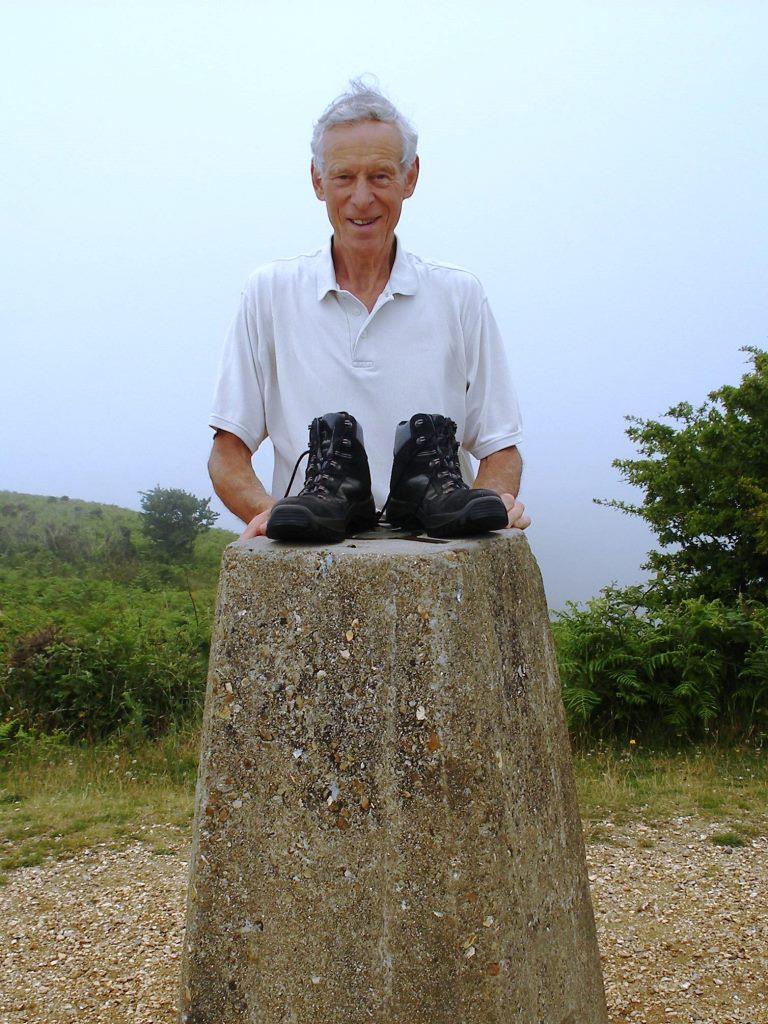
| Peter at the top of Golden Cap with Trevor's Boots At 618 feet, Golden Cap is the highest sea cliff on the south coast. At the summit is an inscribed memorial stone, the reverse of which has the enormous fossil shape of a sea shell |
 |
|
|
The day was warm and sunny at sea level but the higher coastal hills were periodically shrouded in fog, restricting views but adding a touch of mystery to the dramatic landscape. These misty conditions can be seen in the distance from the top of Thorncombe Beacon. The Beacon has good views forward to Chesil Beach and slightly inland Bridport. |
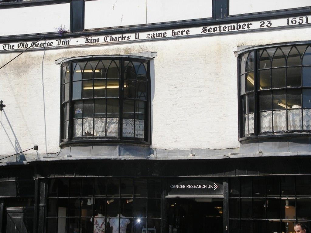
| Bridport Old George Inn This was the last section of the Monarch’s Way that Trevor walked and Gerry and Peter have fond memories of accompanying him on that day in the summer of 2010. True to tradition Trevor kindly bought them an ice cream in West Bay after their exertions up and down the coast path. Today on approaching Bridport they took the optional route through the town centre passing the lovely old building that was the George Inn where Charles stayed, narrowly avoiding discovery. |
 |
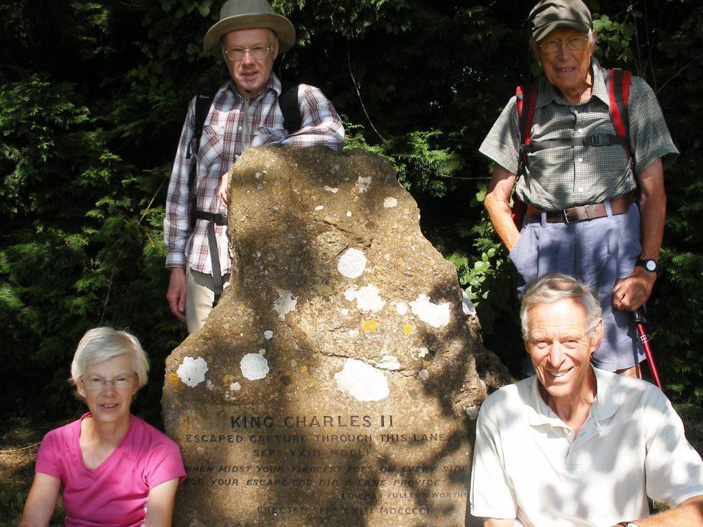 |
Section 42 Bridport to Broadwindsor: Peter Bradford On Thursday 11 July more Minders from the South Somerset Rambler’s Group joined Peter for the longer walk inland to Broadwindsor. The walking group started at the Lee Lane monument where Charles cunningly ducked inland to avoid his pursuers. |
This was a brighter and hotter day than the previous week offering glorious views over the South Dorset hills and across to the sea. |
 |
 |
The magnificent view point of Pilsdon Pen Some hours later Trevor’s boots made one last climb over of Pilsdon Pen, which after a weary ascent which was calculated at 617 feet higher than Pilsdon village below. |
Peter and the group then descended to Broadwindsor and a hand over to Derek Lucas at the site of the inn where Charles stayed. |
|
|
|
Section 43 Broadwindsor to Winyard's Gap: Derek Lucas Peter handing Trevor's Boots over to Derek Lucas. |
Derek Lucas and Brian Gould set out on a very hot day (17th July) to walk the section to Winyards Gap. They started in the square in Broadwindsor where there is a plaque commemorating the occasion when Charles stayed at an Inn narrowly escaping capture there. Derek continued along Common Water lane which is a delightful track, with lovely views on either side, this is thought to be part of a prehistoric ridgeway route. Unfortunately the far end of the lane is closed at present to allow contractors access above the slopes above the Beaminster Tunnel. This was the scene of a tragic accident caused by a landslip last July. Although the tunnel opened on the 29th July, Common Water Lane will be closed until the end of August for completion of further work. Derek and Brian were able to see the work being carried out on the lower slopes, but then had to follow a path to the south to get around the closure. A short stretch on the road was quickly followed by a bridle way which soon became an enclosed track with welcome shade. A climb then provided good views to the north, although slightly hazy it was possible to make out the Mendip Hills. Before long the War Memorial at Winyard's Gap was reached where a well earned rest was spent admiring the views from the seat there.
|
_to_derek_lucas_sec_43_at_broadwindsor_site_of_old_george_inn_500x375.jpg) |
 |
Section 44 Winyard's Gap to East Coker: Phil Bradshaw Derek handing Trevor's Boots to Phil Bradshaw for carrying along section 44. |
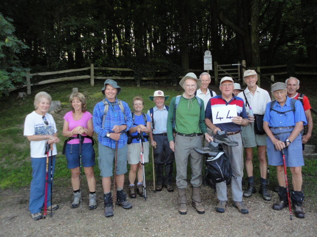
Phil set off on Section 44 with 11 South Somerset Ramblers, who took the opportunity for a very pleasant walk on a lovely August morning. The walk time was extended as the group cleared several stiles of undergrowth caused by the period of extended warm weather and recent rainfall. Several additional way markers were attached to improve ease of route finding. |
|
|
|
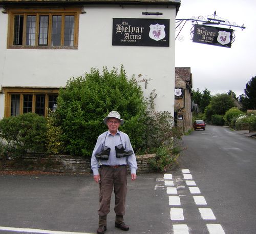
Section 45 East Coker to Trent: Paul Cullen-James Paul receiving Trevor's Boots outside the Helyar Arms in East Coker |
Paul left East Coker at 10.15 in murky humid conditions, he was joined by Derek Lucas and Peter Milligan. They passed Pavyotts Mill and the site of a Roman Villa before entering Aldon Estate where a heavy shower forced them to shelter under the trees. When the shower had passed they continued walking down towards Ninesprings in Yeovil Country Park. They met two walkers who were slightly lost, with local knowledge they were able to give assistance and allow the walkers to continue in the right direction. After passing Yeovil leisure centre, built on the site of the Town Railway Station which was Beeching'd, the group continued across the lower slopes of Wyndham Hill which is a prominent landmark with its group of trees on the summit. The next stage was along residential streets of Yeovil until the lunch stop at the Hundredstone, an historic parish boundary marker. Fortunately the rain clouds cleared just after they completed their break, and conditions became warm and humid. Refreshed, they started the drop in altitude towards Mudford along quiet country lanes, and then the delightful and ancient Droveway Lane, which was easy to image King Charles II using in his desperate escape from Cromwell's Roundheads. Crossing the main road through Mudford they walked next to the River Yeo for much of the remaining route to Trent, ending the walk close by Trent Manor. The whole walk took an enjoyable 5.5 hours. |
 |
